Back to Weather

5-day forecast / College Station, TX

MondaySlight Chance Rain Showers94° / 77° 19%
TuesdaySunny95° / 76° 1%
WednesdaySunny94° / 76° 7%
ThursdayMostly Sunny93° / 76° 8%
FridaySunny95° / 76° 9%

Flood Watch Issued for College Station Amid Heavy Humidity and Storms - Sep 3, 2 PM

College Station weather, updated every four hours — local forecasts you can trust.

A severe Flood Watch is active for College Station. Residents should expect oppressive humidity, with dew points near 77F, and a high chance of showers and thunderstorms today.

Knox Yoder

September 3, 20262 min read

National Weather Service radar for North Texas (KFWS)

*As of Sep 3, 2 PM local time.*

Severe Flood Watch in Effect

A severe Flood Watch is currently active for the College Station area, issued by the National Weather Service. This alert indicates that conditions are favorable for flooding, and residents should remain vigilant. The watch is in effect until this evening, highlighting the potential for significant rainfall accumulation over the next several hours.

Given the severity of this alert, it is crucial to stay informed and prepared for any sudden changes in water levels or drainage issues.

Current Conditions and Today's Outlook

It is currently Thursday afternoon, with light rain falling and the air temperature at 81F. The feels-like temperature is 87F, driven by a high relative humidity of 89% and a dew point of 77F. These conditions create an oppressively humid environment.

Winds are blowing from the southeast at 7 mph, with gusts reaching 9 mph. Today’s high is expected to be near 91F, with a low around 75F. There is a 66% chance of precipitation, with showers and thunderstorms likely.

The National Weather Service forecasts a 70% chance of precipitation, with new rainfall amounts between a tenth and a quarter of an inch possible. Heat index values may reach as high as 102F.
Tonight and Tomorrow

Tonight, a slight chance of showers and thunderstorms is expected before 2am, followed by a chance of storms. The low will be around 75F, with a 30% chance of precipitation. Winds will be from the southeast at 5 to 10 mph, with gusts up to 20 mph.

Tomorrow, a slight chance of rain showers is expected before 1pm, then a chance of showers and thunderstorms. The high will be near 93F, with a low of 74F. The chance of precipitation is 30%, and heat index values could reach 106F.

Winds will be light from the south at 0 to 5 mph. Given the high humidity and potential for storms, it is advisable to stay hydrated and limit outdoor exertion during the hottest parts of the day.

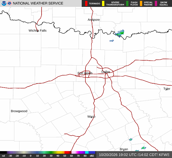
National Weather Service radar for North Texas (KFWS)

Sources

https://radar.weather.gov

https://api.weather.gov

https://open-meteo.com

Share

Knox Yoder

Knox Yoder covers weather, storms, and seasonal life around College Station.

Related Stories

More in Sport