Back to Weather

5-day forecast / College Station, TX

SundaySlight Chance Showers And Thunderstorms97° / 77° 12%
MondaySlight Chance Showers And Thunderstorms98° / 77° 14%
TuesdaySunny99° / 76° 6%
WednesdayMostly Sunny97° / 76° 9%
ThursdayMostly Sunny then Slight Chance Showers And Thunderstorms95° / 74° 23%

Heat Advisory in Effect for College Station as Temperatures Climb - Sep 13, 2 PM

College Station weather, updated every four hours — local forecasts you can trust.

A Heat Advisory is active for College Station. Current temperatures are 95F with a feels-like of 103F. Expect highs near 97F today and 98F tomorrow, with a slight chance of storms.

Knox Yoder

September 13, 20262 min read

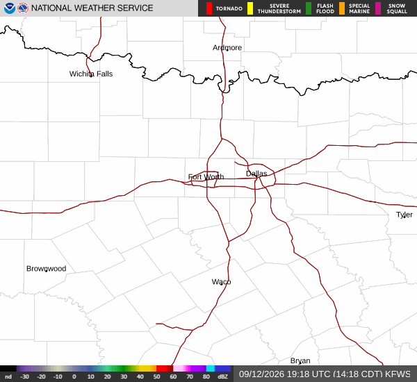
National Weather Service radar for North Texas (KFWS)

*As of Sep 13, 2 PM local time.*

Current Conditions and Active Alerts

A Heat Advisory is currently in effect for College Station, issued by the National Weather Service for the Houston/Galveston area. This moderate-severity alert remains active through the evening. Right now, the air temperature stands at 95F, but the heat index makes it feel like 103F.

The relative humidity is 47%, with a dew point of 72F, contributing to the muggy atmosphere. Winds are blowing from the south at 9 mph, with gusts reaching the same speed. The sky is partly cloudy, offering some visual relief but little thermal comfort.

Today’s Forecast and Evening Outlook

Residents should expect a high near 97F today. There is a 12% chance of precipitation, with a slight possibility of showers and thunderstorms developing after 4pm. The heat index values could reach as high as 106F during the afternoon hours.

As evening approaches, the chance of storms remains slight, potentially occurring before 7pm. The sky will become mostly clear, and temperatures will drop to a low around 77F. The heat index may still feel as high as 105F in the early evening, with south winds continuing at 5 to 10 mph.
Tomorrow’s Outlook and Safety Reminders

Tomorrow will be slightly warmer, with a high near 98F. The chance of precipitation is 14%, with a slight chance of showers and thunderstorms between 9am and 5pm. The sky will be mostly sunny, and the heat index could again reach 106F.

Winds will be lighter, ranging from 0 to 10 mph from the south. Tonight, conditions will remain mostly clear with a low around 77F and a heat index up to 101F. Given the dangerous heat levels, it is crucial to stay hydrated and limit midday exertion.

Check on neighbors and vulnerable individuals, as the combination of high temperatures and humidity can pose significant health risks. Avoid prolonged exposure to direct sunlight during peak heat hours.

National Weather Service radar for North Texas (KFWS)

Sources

National Weather Service radar

National Weather Service forecast data

Open-Meteo weather data

Share

Knox Yoder

Knox Yoder covers weather, storms, and seasonal life around College Station.

Related Stories

More in Sport