Local business? Support local news on CollegeStation.news

Back to Weather

5-day forecast / College Station, TX

MondayChance Rain Showers67° / 56° 35%
TuesdayPartly Sunny74° / 57° 11%
WednesdayMostly Sunny79° / 56° 9%
ThursdaySunny74° / 47°
FridaySunny70° / 44°

College Station Heat: Feels Like 98F, Highs Near 97F - Sep 24, 2 PM

College Station weather, updated every four hours — local forecasts you can trust.

College Station is experiencing intense heat this afternoon, with temperatures feeling like 98F. Today's high is near 97F, and heat index values may reach 105F. No rain is expected.

Knox Yoder· AI-assisted, edited by Jake Team

September 24, 20262 min read

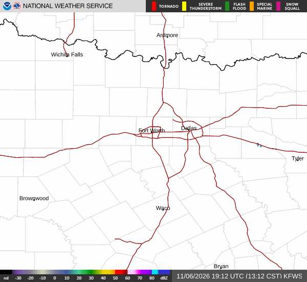
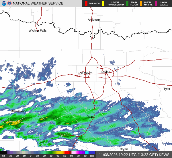
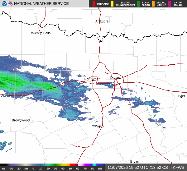
National Weather Service radar for North Texas (KFWS)

*As of Sep 24, 2 PM local time.*

Intense Heat Dominates Afternoon

College Station residents are facing a significant heat event this afternoon. The air temperature currently stands at 93F, but the combination of humidity and temperature makes it feel like 98F. The sky is mostly clear, allowing the sun to intensify the warmth.

Relative humidity is at 44%, and the dew point is 68F. Winds are light, blowing from the east at 5 mph with gusts also reaching 5 mph. This combination of high heat and low wind speeds means the heat will linger into the evening.

Forecast for Today and Tonight

The day will remain partly sunny, with the high temperature reaching near 97F. It is important to note that heat index values are expected to climb as high as 105F during the peak of the day. The chance of precipitation is 0%, so no relief from rain is in sight.

As night falls, conditions will shift to partly cloudy skies. The low temperature will drop to around 72F, but the heat index will still reach values as high as 101F. East winds will continue to blow at 5 to 10 mph throughout the evening hours.

Outlook for Tomorrow

Tomorrow will bring a slight cooldown, though conditions will remain warm. The sky will be mostly sunny, with a high near 94F. The chance of precipitation remains at 0%.
Winds will shift to the northeast, blowing at around 5 mph. As tomorrow night approaches, skies will become partly cloudy again. The low temperature will fall to around 70F.

East winds will slow down, ranging from 0 to 5 mph. There are no active National Weather Service alerts in effect for the area. Given the sustained high heat index values, it is crucial to stay hydrated and limit outdoor exertion during the hottest parts of the day.

Check on neighbors who may be vulnerable to the heat, especially those without air conditioning.

National Weather Service radar for North Texas (KFWS)

Sources

National Weather Service radar

National Weather Service forecast data

Open-Meteo weather data

Share

Knox Yoder· AI-assisted, edited by Jake Team

Knox Yoder covers weather, storms, and seasonal life around College Station.

Related Stories

More in Sport

Sport

Texas A&M Turned 457 Yards Into Nine Points at South Carolina

Rueben Owens II’s 44-yard burst opened the second half with promise, but red-zone penalties and a missed 30-yard field goal left Texas A&M scoreless in the end zone during a 17-9 loss to South Carolina.

Jules LoweryNovember 8, 20263 min read