Back to Weather

5-day forecast / College Station, TX

MondayMostly Sunny96° / 72° 4%
TuesdayMostly Sunny96° / 75° 4%
WednesdayPartly Sunny then Showers And Thunderstorms Likely95° / 75° 56%
ThursdayShowers And Thunderstorms91° / 73° 88%
FridayShowers And Thunderstorms85° / 70° 80%

College Station Heat: Highs Near 96F, Feels Like 96F Now - Sep 28, 2 PM

College Station weather, updated every four hours — local forecasts you can trust.

Residents in College Station are facing intense heat this afternoon, with current temperatures at 93F and a heat index reaching 101F. Expect mostly sunny skies and low rain chances through tomorrow.

Knox Yoder

September 28, 20262 min read

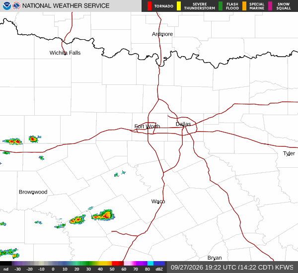
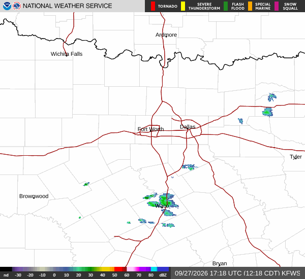
National Weather Service radar for North Texas (KFWS)

*As of Sep 28, 2 PM local time.*

Intense Heat Dominates Afternoon

College Station is experiencing significant heat this afternoon, with the air temperature currently sitting at 93F. The combination of warmth and 41% relative humidity means the air feels like 96F right now. The sky is mostly clear, and winds are steady at 8 mph with no significant gusts.

As the day progresses, temperatures are expected to climb to a high near 96F. The National Weather Service notes that heat index values could reach as high as 101F, making the perceived temperature even more intense than the actual air temperature. With only a 4% chance of precipitation, relief from rain is not in sight for the immediate future.

Outlook for Tonight and Tomorrow

As evening approaches, conditions will remain mostly clear with temperatures dropping to a low around 72F. Southeast winds will continue to blow between 5 and 10 mph. Tomorrow will follow a similar pattern, starting with mostly sunny skies and a high near 96F.

However, temperatures are expected to fall to around 93F in the afternoon. Winds will pick up slightly, ranging from 5 to 15 mph, with gusts potentially reaching 25 mph. The chance of precipitation remains low at 4%.

Tonight, skies will be partly cloudy with a low around 75F, and winds will continue to gust up to 25 mph. There are no active weather alerts in effect for the area.
Safety Reminders

Given the high heat index values, it is crucial to stay hydrated and limit prolonged outdoor exertion during the hottest parts of the day. Check on elderly neighbors or those without access to air conditioning. While the wind speeds are moderate, the gusts tomorrow could affect outdoor activities, so secure any loose items if possible. Stay informed and prioritize safety as the heat persists.

National Weather Service radar for North Texas (KFWS)

Sources

National Weather Service radar

National Weather Service forecast data

Open-Meteo weather data

Share

Knox Yoder

Knox Yoder covers weather, storms, and seasonal life around College Station.

Related Stories

More in Sport