Back to Weather

5-day forecast / College Station, TX

TuesdayPartly Sunny96° / 75° 9%
WednesdayPartly Sunny then Chance Showers And Thunderstorms95° / 76° 34%
ThursdayShowers And Thunderstorms93° / 73° 87%
FridayShowers And Thunderstorms85° / 71° 84%
SaturdayRain Showers Likely83° / 70° 69%

College Station Heat: Feels Like 98F, Storms Possible Tomorrow - Sep 29, 2 PM

College Station weather, updated every four hours — local forecasts you can trust.

College Station is experiencing intense heat this afternoon, with temperatures feeling like 98F. While today remains dry, a chance of showers and thunderstorms arrives tomorrow afternoon.

Knox Yoder

September 29, 20262 min read

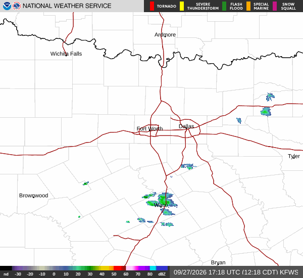
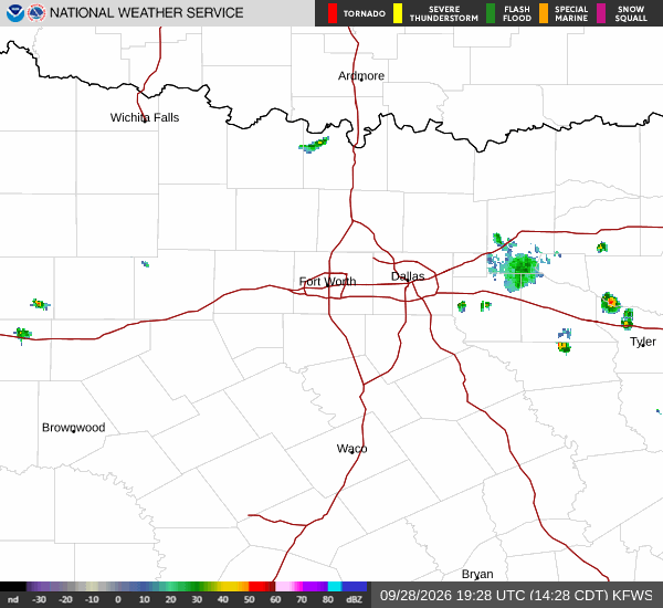
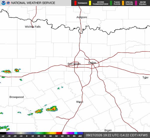
National Weather Service radar for North Texas (KFWS)

*As of Sep 29, 2 PM local time.*

Intense Heat Dominates Afternoon

College Station residents are facing significant heat this afternoon. The current air temperature stands at 93F, but the combination of humidity and heat makes it feel like 98F. Relative humidity is at 44%, and the dew point is 68F.

Winds are blowing from the southeast at 9 mph, with gusts reaching 15 mph. The sky is mostly clear, allowing the sun to intensify the thermal load on the region. This level of heat requires caution, particularly for those spending time outdoors during peak hours.

Today's Outlook and Tonight's Conditions

The forecast indicates a high near 96F for today, with a low near 75F. The chance of precipitation is minimal at 9%, and conditions will remain partly sunny. Heat index values are expected to reach as high as 105F, emphasizing the need for hydration and limited midday exertion.

Tonight, the sky will become partly cloudy, with temperatures dropping to around 75F. Winds will continue from the southeast at 10 to 15 mph, with gusts potentially reaching 25 mph. There are no active National Weather Service alerts in effect for the area.
Tomorrow's Weather Pattern

Tomorrow brings a shift in conditions. A slight chance of rain showers is possible between noon and 1 p.m., followed by a higher chance of showers and thunderstorms between 1 p.m. and 4 p.m. The overall chance of precipitation is 30%.

Temperatures will peak near 95F before falling to around 92F in the afternoon. Heat index values may reach 102F. Winds will strengthen to 10 to 20 mph, with gusts as high as 30 mph.

New rainfall amounts are expected to be less than a tenth of an inch. Tonight, a chance of showers and thunderstorms persists, with a low around 76F and partly cloudy skies. Winds will remain from the southeast at 10 to 15 mph, with gusts up to 30 mph.

National Weather Service radar for North Texas (KFWS)

Sources

National Weather Service radar

National Weather Service forecast data

Open-Meteo weather data

Share

Knox Yoder

Knox Yoder covers weather, storms, and seasonal life around College Station.

Related Stories

More in Sport

Cowboys Fall 34-31 to Ravens in Rio Thriller

Dallas Cowboys lose a close contest against the Baltimore Ravens at Maracanã Stadium, with Tyler Loop's late field goal sealing the victory for Baltimore.

Jules LowerySeptember 29, 20262 min read