Back to Weather

5-day forecast / College Station, TX

WednesdayMostly Sunny98° / 78° 5%
ThursdayMostly Sunny97° / 74° 11%
FridaySunny97° / 72°
SaturdaySunny96° / 73°
SundaySunny96° / 75° 5%

College Station Braces for Persistent Heat and High Humidity - Sep 16, 2 PM

College Station weather, updated every four hours — local forecasts you can trust.

Residents in College Station are facing a very hot afternoon with temperatures near 93F and a feels-like value of 99F. The National Weather Service reports no active alerts, but heat index values are expected to reach 106F today.

Knox Yoder

September 16, 20262 min read

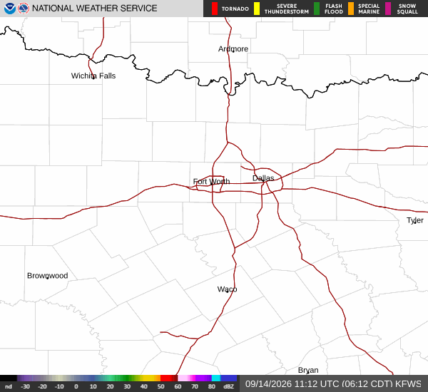
National Weather Service radar for North Texas (KFWS)

*As of Sep 16, 2 PM local time.*

Current Heat and Humidity Levels

College Station is experiencing significant heat this afternoon. The air temperature currently sits at 93F, but the combination of heat and moisture makes it feel like 99F. Relative humidity is recorded at 47%, with a dew point of 70F, contributing to the muggy conditions.

The sky is mostly cloudy, and winds are light at 3 mph with gusts reaching 9 mph. These conditions create a challenging environment for outdoor activities, particularly during the peak heat hours.

Today’s Forecast and Evening Outlook

The day will remain mostly sunny, with the high temperature expected to reach near 98F. The low will settle around 78F. There is only a 5% chance of precipitation, so rain is unlikely to provide relief.

Heat index values are forecast to climb as high as 106F, indicating dangerous levels of perceived heat. Southeast winds will blow around 5 mph. As evening approaches, the sky will become partly cloudy.

The temperature will drop to a low of 78F, but the heat index will remain high at 104F. Winds will shift to 0 to 5 mph from the southeast. The lack of significant wind movement may cause the air to feel stagnant and warm well into the night.
Tomorrow’s Conditions and Safety Reminders

Tomorrow will follow a similar pattern, with mostly sunny skies. The high temperature is expected to be near 97F, though temperatures may fall to around 94F in the afternoon. The low will be 74F.

The chance of precipitation rises slightly to 11%, but rain remains unlikely. Heat index values will reach 105F. East winds will range from 0 to 10 mph.

Tonight, the sky will be mostly clear with a low of 74F and a heat index of 101F. There are no active National Weather Service alerts for the area. Given the sustained high heat index values, it is crucial to stay hydrated and limit strenuous outdoor exertion during the hottest parts of the day.

Checking on vulnerable neighbors and ensuring pets have access to shade and water are also important steps to stay safe during this heat wave.

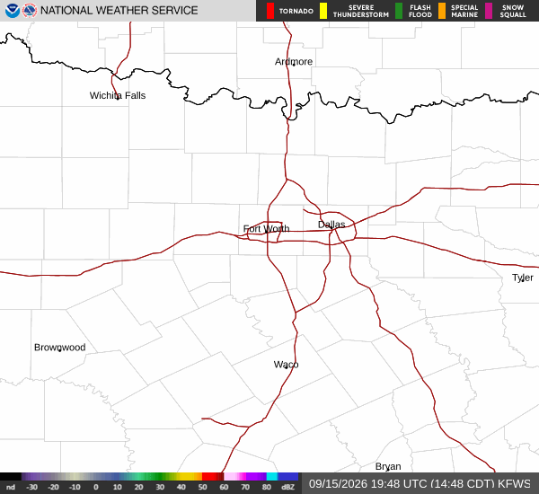
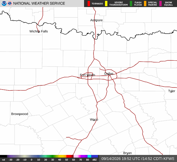
National Weather Service radar for North Texas (KFWS)

Sources

National Weather Service radar

National Weather Service forecast data

Open-Meteo weather data

Share

Knox Yoder

Knox Yoder covers weather, storms, and seasonal life around College Station.

Related Stories

More in Sport