*As of Oct 2, 2 PM local time.*
Severe Flood Watch in Effect
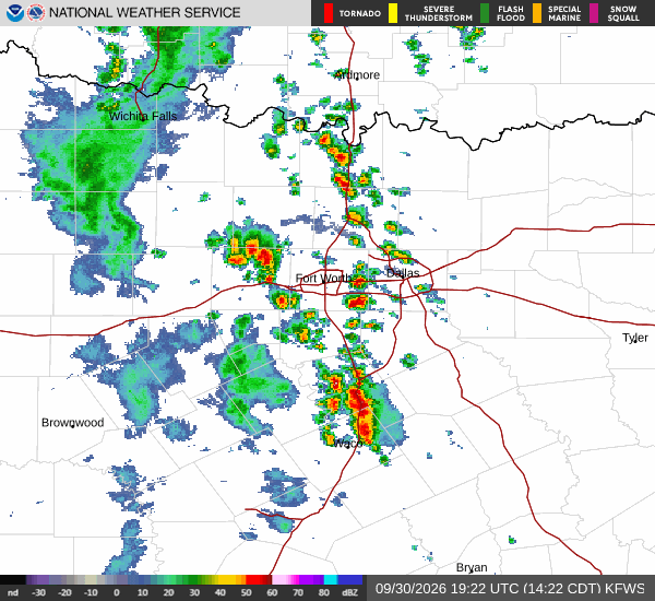
Residents in College Station should remain vigilant as a severe Flood Watch is currently active. This alert, issued by the National Weather Service, indicates that conditions are favorable for flooding. While the official timeline for the watch extends into the evening, the immediate risk is tied to the persistent storm activity expected over the next 24 hours.
Given the severity of this alert, it is crucial to stay informed and avoid any low-lying areas that may be prone to water accumulation. The combination of heavy rainfall and saturated ground can lead to rapid water rise, making this a significant safety concern for the local community.
Current Conditions and Humidity
It is currently Friday afternoon, and the atmosphere feels notably muggy. The air temperature is sitting at 82F, but the high humidity makes it feel like 88F. With a relative humidity of 74% and a dew point of 73F, the air is thick and heavy.
The sky is mostly cloudy, and winds are blowing from the northeast at 9 mph, with gusts reaching 10 mph. This level of humidity can make outdoor activities feel more exhausting than the actual temperature suggests, so it is wise to stay hydrated and limit strenuous exertion during the warmer parts of the day.
Forecast for Today and Tomorrow
Today, showers and thunderstorms are likely, with a 56% chance of precipitation. The high will be near 83F, and the low will drop to 71F. Rainfall amounts are expected to be less than a tenth of an inch.