Back to Weather

5-day forecast / College Station, TX

MondaySlight Chance Rain Showers94° / 77° 19%
TuesdaySunny95° / 76° 1%
WednesdaySunny94° / 76° 7%
ThursdayMostly Sunny93° / 76° 8%
FridaySunny95° / 76° 9%

College Station Heat and Humidity Build Ahead of Likely Storms - Aug 27, 6 AM

College Station weather, updated every four hours — local forecasts you can trust.

College Station is experiencing significant heat and humidity this morning, with temperatures near 82F and a feels-like value of 87F. Residents should prepare for a high near 100F today, accompanied by a 56% chance of showers and thunderstorms.

Knox Yoder

August 27, 20262 min read

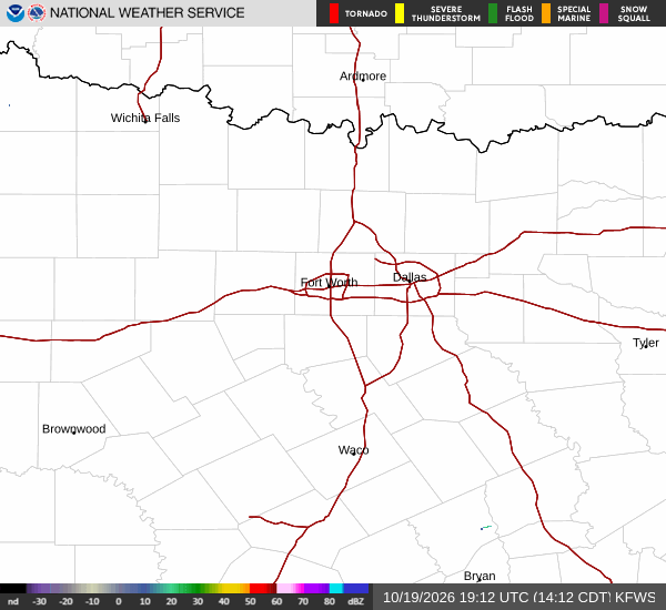
National Weather Service radar for North Texas (KFWS)

*As of Aug 27, 6 AM local time.*

Current Conditions and Heat

College Station is currently dealing with a combination of high heat and significant humidity. The air temperature is sitting at 82F, but the feels-like temperature has reached 87F. This muggy sensation is driven by a relative humidity of 70% and a dew point of 72F.

The sky is currently clear, and winds are calm at 0 mph, with gusts reaching up to 7 mph. These conditions set the stage for a very warm day ahead, where the heat index is expected to climb significantly.

Today's Forecast and Storms

Today will be partly sunny with a high near 100F. The heat index values are expected to reach as high as 109F, making the air feel even more oppressive. West winds will blow at 5 to 10 mph.

There is a 56% chance of precipitation, with showers and thunderstorms likely to develop. New rainfall amounts are expected to be less than a tenth of an inch. As the day progresses, the low temperature will settle near 80F.

Tonight, showers and thunderstorms remain likely, with a 60% chance of precipitation. The sky will be mostly cloudy, and south winds will be around 5 mph. Rainfall amounts are again expected to be minimal, staying under a tenth of an inch.
Tomorrow's Outlook

Tomorrow brings a shift toward drier conditions. The forecast calls for mostly sunny skies with a high near 97F. The heat index will still feel warm, reaching values as high as 106F.

Southeast winds will be light, ranging from 0 to 5 mph. The chance of precipitation drops significantly to just 10%. Tonight, the sky will be partly cloudy with a low around 76F.

A chance of showers and thunderstorms exists before 11pm, with a 30% chance of precipitation. Southeast winds will range from 0 to 10 mph. By tomorrow night, conditions will become mostly clear with a low of 75F and southeast winds of 0 to 10 mph.

Given the high heat and humidity, it is important to stay hydrated and limit midday exertion. Check on neighbors who may be sensitive to the heat.

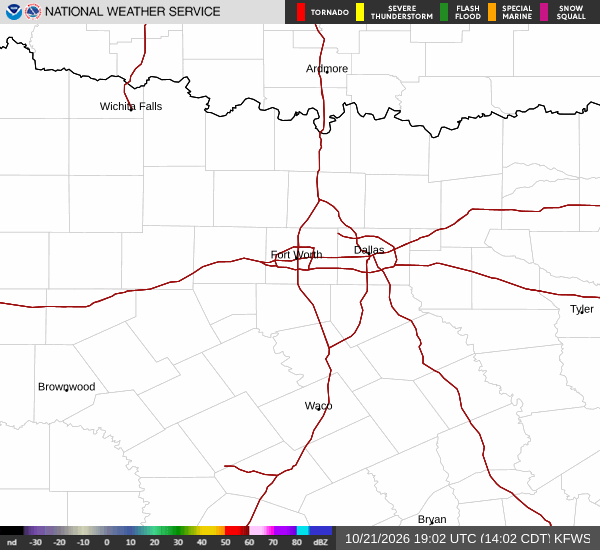
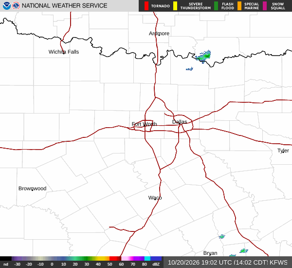
National Weather Service radar for North Texas (KFWS)

Sources

https://radar.weather.gov

https://api.weather.gov

https://open-meteo.com

Share

Knox Yoder

Knox Yoder covers weather, storms, and seasonal life around College Station.

Related Stories

More in Sport

Arenado’s 385-Foot Blast Lifts D-backs Past Astros 3-2

Nolan Arenado’s three-run blast in the third inning gave the Arizona Diamondbacks a 3-2 victory over the Houston Astros Sunday at Daikin Park. Eduardo Rodriguez earned the win despite allowing one earned run.

Jules LowerySeptember 7, 20262 min read