Back to Weather

5-day forecast / College Station, TX

MondaySlight Chance Rain Showers94° / 77° 19%
TuesdaySunny95° / 76° 1%
WednesdaySunny94° / 76° 7%
ThursdayMostly Sunny93° / 76° 8%
FridaySunny95° / 76° 9%

Flood Watch Issued for College Station Amid High Humidity and Storms - Sep 3, 6 AM

College Station weather, updated every four hours — local forecasts you can trust.

A severe Flood Watch is active for College Station. Residents should expect oppressive humidity, with dew points near 79F, and a significant chance of showers and thunderstorms today and tomorrow.

Knox Yoder

September 3, 20262 min read

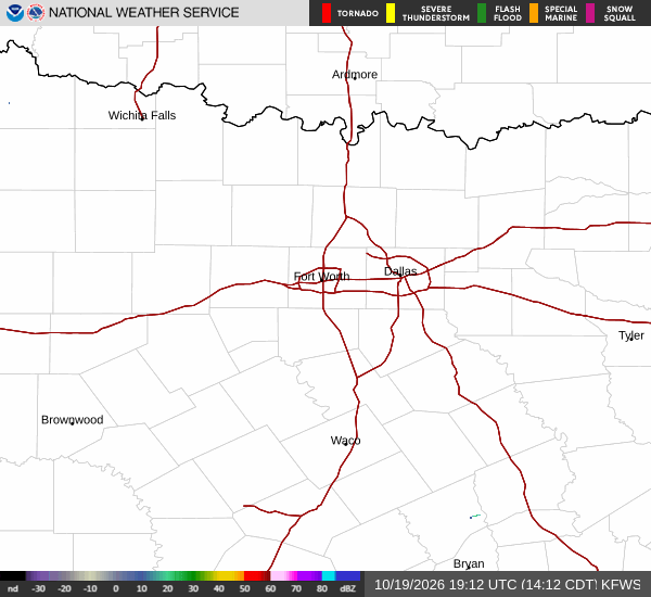
National Weather Service radar for North Texas (KFWS)

*As of Sep 3, 6 AM local time.*

Severe Flood Watch Active

A severe Flood Watch is currently in effect for the College Station area, issued by the National Weather Service. This alert indicates that conditions are favorable for flooding, and residents should remain vigilant. The watch is valid until early afternoon, meaning the risk of water accumulation is a primary concern for the immediate future.

While the sky is currently mostly clear, the atmospheric setup is shifting rapidly. Current conditions show an air temperature of 79F, but it feels like 83F due to extreme moisture levels. Relative humidity is at 100%, and the dew point sits at 79F, creating an oppressively humid environment that will make the heat feel significantly heavier than the actual temperature suggests.

Winds are light, blowing from the southeast at 6 mph with gusts to 8 mph.

Today and Tonight Outlook

Today will bring a high near 90F and a low near 75F. The atmosphere remains unstable, with a 46% chance of precipitation. Showers and thunderstorms are likely, bringing new rainfall amounts between a tenth and a quarter of an inch.

The sky will be mostly cloudy, and southeast winds will range from 5 to 10 mph. As night falls, the chance of precipitation remains around 40%, with similar rainfall totals possible. The low temperature will hover around 75F, and the persistent humidity will continue to make the air feel muggy.

Residents should monitor local drainage areas, as even modest rainfall amounts can contribute to localized flooding under these conditions.
Tomorrow's Forecast

Tomorrow will be slightly warmer, with a high near 92F. Temperatures may dip to around 89F in the afternoon due to cloud cover and storm activity. The chance of precipitation is 37%, with showers and thunderstorms still a possibility.

The sky will remain mostly cloudy, and south winds will be light, around 5 mph. The low temperature for tomorrow night is expected to be near 74F. Given the active Flood Watch and the high humidity, it is advisable to stay hydrated and limit strenuous outdoor activities during the hottest parts of the day.

Always check on neighbors who may be vulnerable to the heat and humidity, and keep an eye on any updates from local authorities regarding the flood situation.

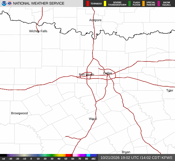
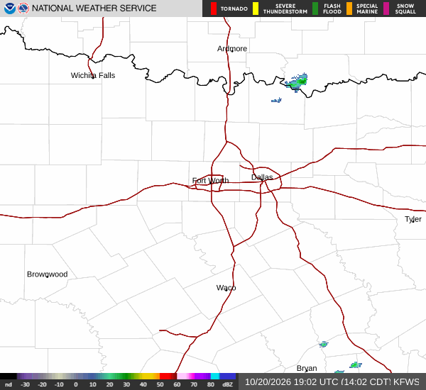
National Weather Service radar for North Texas (KFWS)

Sources

https://radar.weather.gov

https://api.weather.gov

https://open-meteo.com

Share

Knox Yoder

Knox Yoder covers weather, storms, and seasonal life around College Station.

Related Stories

More in Sport

Arenado’s 385-Foot Blast Lifts D-backs Past Astros 3-2

Nolan Arenado’s three-run blast in the third inning gave the Arizona Diamondbacks a 3-2 victory over the Houston Astros Sunday at Daikin Park. Eduardo Rodriguez earned the win despite allowing one earned run.

Jules LowerySeptember 7, 20262 min read