*As of Sep 11, 2 PM local time.*
Dangerous Heat Conditions
It is currently Friday this afternoon in College Station, and the primary concern is the intense heat. The air temperature stands at 95F, but the heat index makes it feel like 103F. This level of heat is considered dangerous for outdoor activity.
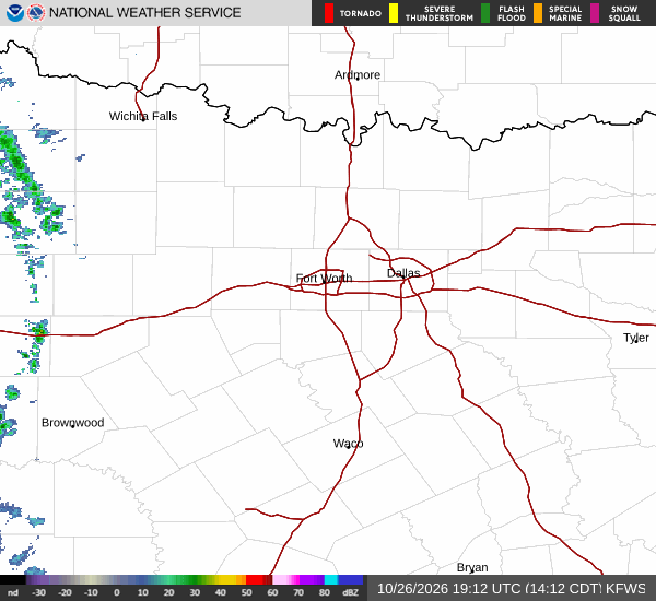
The relative humidity is 47%, and the dew point is 72F, contributing to the muggy sensation. The sky is currently clear, and winds are blowing from the south at 9 mph, with gusts recorded at 5 mph. There are no active National Weather Service or NOAA weather alerts in effect for the area.
Readers should be aware that while the conditions are hot, there is no official warning or advisory currently issued.
Today and Tonight Outlook
For the remainder of today, a slight chance of showers and thunderstorms is possible after 4pm. The high temperature will reach near 96F, with heat index values potentially climbing to 105F. The chance of precipitation is estimated at 20%.
Tonight, the sky will be mostly clear, and temperatures will drop to a low around 77F. A slight chance of showers and thunderstorms may occur before 7pm. South winds will continue at 5 to 10 mph.
The overall chance of precipitation for tonight remains at 20%. Residents should monitor the sky for any developing clouds, though the likelihood of significant rain is low.