*As of Oct 14, 2 PM local time.*
Dangerous Heat and Humidity
College Station is currently experiencing dangerous heat conditions. The air temperature stands at 90F, but the heat index makes it feel like 100F. This oppressive heat is driven by high humidity, with a dew point of 75F and relative humidity at 63%.
The sky is partly cloudy, and winds are blowing from the south at 13 mph, with gusts reaching 14 mph. These conditions create a muggy environment that can be physically taxing for anyone spending time outdoors.
Today’s Storms and Tonight’s Outlook
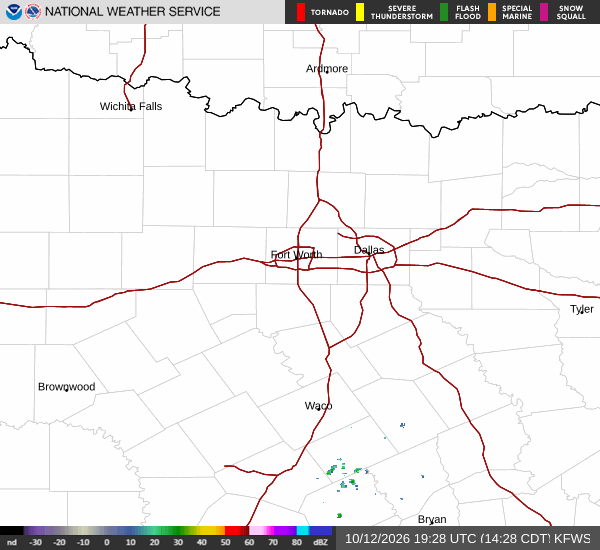
A significant chance of precipitation, estimated at 61%, accompanies today’s forecast. Showers and thunderstorms are expected to develop, with the highest likelihood occurring in the late afternoon. The high temperature will reach near 91F, though it may dip to around 88F in the afternoon as storms pass.
Winds may gust as high as 25 mph during these events. Tonight, the chance of showers and thunderstorms decreases to 30% before 7pm. The sky will become mostly clear, and temperatures will fall to a low near 69F.
Southeast winds will range from 5 to 15 mph, with gusts potentially reaching 25 mph. Rainfall amounts are expected to be light, generally less than a tenth of an inch.