Back to Weather

5-day forecast / College Station, TX

TuesdaySlight Chance Showers And Thunderstorms98° / 77° 20%
WednesdaySunny98° / 77° 3%
ThursdaySunny99° / 76°
FridayMostly Sunny98° / 77° 3%
SaturdayMostly Sunny99° / 75°

College Station Heat and Humidity Persist With No Alerts - Aug 11, 8 AM

College Station weather, updated every four hours — local forecasts you can trust.

College Station faces oppressive humidity with a dew point of 75F today. Highs near 98F and heat indices up to 106F are expected through tomorrow with no active weather alerts.

Knox Yoder

August 11, 20262 min read

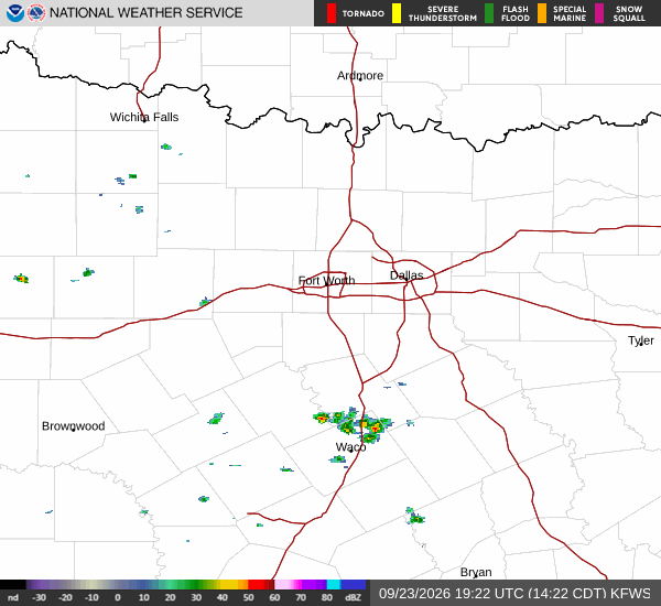
National Weather Service radar for North Texas (KFWS)

*As of Aug 11, 8 AM local time.*

Oppressive Humidity and High Heat

College Station is currently experiencing oppressively humid conditions this morning. The air temperature sits at 79F, but the feels-like temperature is 82F due to a relative humidity of 89% and a dew point of 75F. Winds are blowing from the south at 6 mph with gusts reaching 14 mph, while the sky remains cloudy.

Today, the heat will intensify significantly. Expect mostly sunny skies with a high near 98F. The heat index values are forecast to reach as high as 105F. South winds will continue at 5 to 10 mph. There is only a 6% chance of precipitation, making the day dry but dangerously hot.

Tonight, conditions will shift slightly. A slight chance of showers and thunderstorms is possible between 8pm and 9pm, though the chance of precipitation is listed at 20%. Otherwise, skies will become mostly clear with a low around 77F.

The heat index will remain elevated, with values as high as 105F. Winds will pick up slightly, blowing south at 5 to 15 mph with gusts as high as 20 mph.

Tomorrow’s Forecast and Safety

Tomorrow will bring sunny skies and continued intense heat. The high will again reach near 98F, with heat index values climbing as high as 106F. South winds will persist at 5 to 15 mph, with gusts up to 20 mph.
The chance of precipitation drops to just 3%. Tomorrow night will be mostly clear with a low around 77F and heat index values up to 105F, with south winds increasing to 10 to 15 mph and gusts up to 20 mph.

There are no active National Weather Service or NOAA weather alerts in effect for this area. However, the combination of high temperatures and extreme humidity poses serious health risks. Residents should stay hydrated and limit midday exertion. Check on elderly neighbors and ensure pets have access to cool water and shade. Avoid prolonged exposure to the sun during peak heat hours to prevent heat-related illnesses.

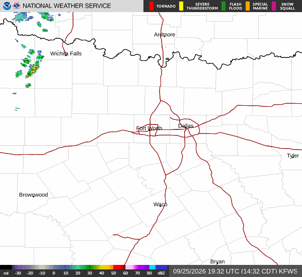
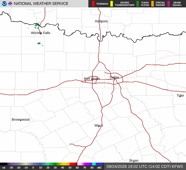
National Weather Service radar for North Texas (KFWS)

Sources

https://radar.weather.gov

https://api.weather.gov

https://open-meteo.com

Share

Knox Yoder

Knox Yoder covers weather, storms, and seasonal life around College Station.

Related Stories

More in Sport