*As of Aug 14, 5 PM local time.*
Current Conditions and Heat Risk
College Station is currently experiencing dangerous heat levels as the sun sets on Friday evening. The air temperature stands at 95F, but the combination of heat and moisture pushes the feels-like temperature to a sweltering 103F. This significant heat index value indicates that the body’s cooling mechanism is under severe stress, making prolonged exposure risky.
Humidity levels are notably high for this time of year, with a dew point of 72F and relative humidity at 47%. While the sky remains clear, the atmosphere is holding substantial moisture. Conditions are being driven by strong south winds blowing at 18 mph, with gusts reaching up to 24 mph.
These winds provide some relief from the stagnant heat but also contribute to rapid evaporation and potential fire weather concerns in dry areas.
Forecast for Tonight and Tomorrow
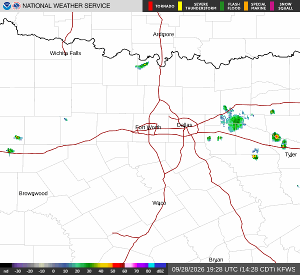
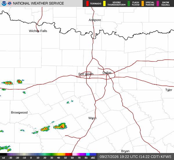
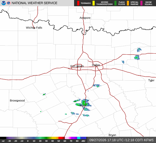
Looking ahead, the slight chance of showers and thunderstorms persists through tonight before 7pm, with a 20% probability of precipitation. Temperatures will drop to a low near 77F under partly cloudy skies. The heat index will remain elevated, reaching as high as 107F during the early evening hours before gradually declining.
Winds will ease slightly to between 5 and 15 mph with gusts up to 20 mph.