Back to Weather

5-day forecast / College Station, TX

MondayPatchy Fog then Sunny100° / 76°
TuesdayMostly Sunny99° / 77°
WednesdaySunny100° / 76° 1%
ThursdaySunny100° / 77° 1%
FridaySunny100° / 78° 6%

College Station Braces for Another Day of Intense Heat - Aug 16, 5 PM

College Station weather, updated every four hours — local forecasts you can trust.

Residents in College Station are facing another stretch of extreme heat, with current temperatures near 99F and highs expected to reach 100F. No rain is in sight, and humidity remains low.

Knox Yoder

August 16, 20262 min read

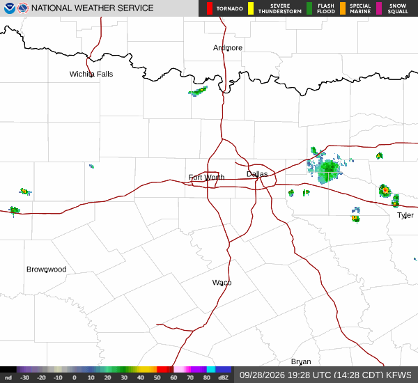
National Weather Service radar for North Texas (KFWS)

*As of Aug 16, 5 PM local time.*

Current Conditions and Immediate Outlook

It is currently Sunday this evening in College Station, and the air remains exceptionally warm. The current air temperature is 99F, with a feels-like temperature of 98F. The sky is clear, and the relative humidity is low at 25%, with a dew point of 57F.

Winds are light, blowing from the south at 6 mph with gusts reaching 7 mph. This dry, hot air mass is settling over the region, creating conditions that are comfortable for those who have already acclimated to the heat but still require caution for anyone spending extended time outdoors.

Today’s and Tonight’s Forecast

For the remainder of today, the weather will remain sunny with a high near 100F. The chance of precipitation is 0%, ensuring a dry day. As night falls, the sky will be mostly clear, and temperatures will drop to a low near 74F.

Despite the drop in air temperature, the heat index values will remain high, reaching as high as 101F. South winds will shift to between 5 and 10 mph during the evening hours. There are no active National Weather Service alerts in effect for the area, meaning no warnings, watches, or advisories are currently issued.
Tomorrow’s Outlook and Safety Reminders

Tomorrow will bring similar conditions, starting with patchy fog before 9am. By midday, the sun will shine brightly, pushing the high near 100F again. The heat index is expected to peak at 106F, making the air feel significantly hotter than the actual temperature.

The low will be near 76F, and the chance of rain remains at 0%. South winds will stay around 5 mph. Given the persistent heat and high heat index values, it is important to stay hydrated and limit strenuous outdoor activities during the hottest parts of the day.

Checking on neighbors and ensuring pets have access to shade and water are also prudent steps to take in this environment.

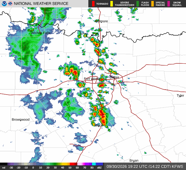
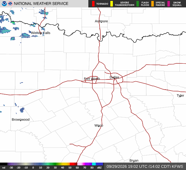
National Weather Service radar for North Texas (KFWS)

Sources

https://radar.weather.gov

https://api.weather.gov

https://open-meteo.com

Share

Knox Yoder

Knox Yoder covers weather, storms, and seasonal life around College Station.

Related Stories

More in Sport